Conservation teams work across some of the most complex and demanding landscapes on Earth. The ability to configure alerts that match the specific needs of a species, a landscape, or an operational context matters. Three new alert and analysis tools in EarthRanger give teams more precision over how they're notified — and more of the context they need to make faster, better-informed decisions in the field.
Set alerts based on device data
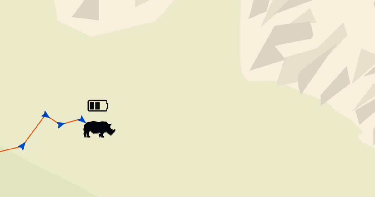
Teams can now create automatic alerts based on numeric data from collars, sensors, and other connected devices. When a value crosses a threshold you define, EarthRanger creates an alert so you can act before a problem compounds. That value could be battery level, altitude, speed, or anything else a device reports. One rule can cover multiple devices, even if they report the same value in different units. A team tracking elephants with collars from different vendors, for example, can set a single low-battery threshold and get alerted before a collar goes dark in the field.
Movement cluster analysis, coming April 7
.gif)
Movement cluster analysis will be configurable directly inside EarthRanger on April 7. Teams studying wolves, vultures, pumas, and other wide-ranging species will be able to tune how the platform identifies where animals spend concentrated time, adjusting it to their landscape and species.
More precise geofence alerts
Geofence alerts now include a corner clip setting. When enabled, EarthRanger triggers an alert when a subject's path clips the edge of a boundary — crossing in and back out without a recorded point outside the fence. Teams can enable or disable it depending on how precisely they need to track boundary crossings for their work.
All three capabilities are available now.
Visit the Help Center to get started