As a result of a national partnership with Forest Conservation Institute (ICF) and MOCAPH, Honduras plans to deploy EarthRanger across 75 terrestrial and marine conservation areas. Developed and supported by Ai2, a nonprofit AI research institute founded by the late Paul G. Allen, EarthRanger gives the government and its conservation partners real-time visibility and coordination across some of Mesoamerica’s most important areas for wildlife and biodiversity.
Announced on 31 July 2025, World Ranger Day, the initiative highlights the vital role rangers play in protecting both wildlife, habitats, and communities. With EarthRanger, Honduras equips its frontline teams with the tool to keep an eye on wildlife, track their own movements, flag potential threats, and stay safer in the field.
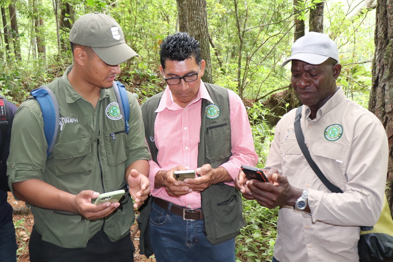
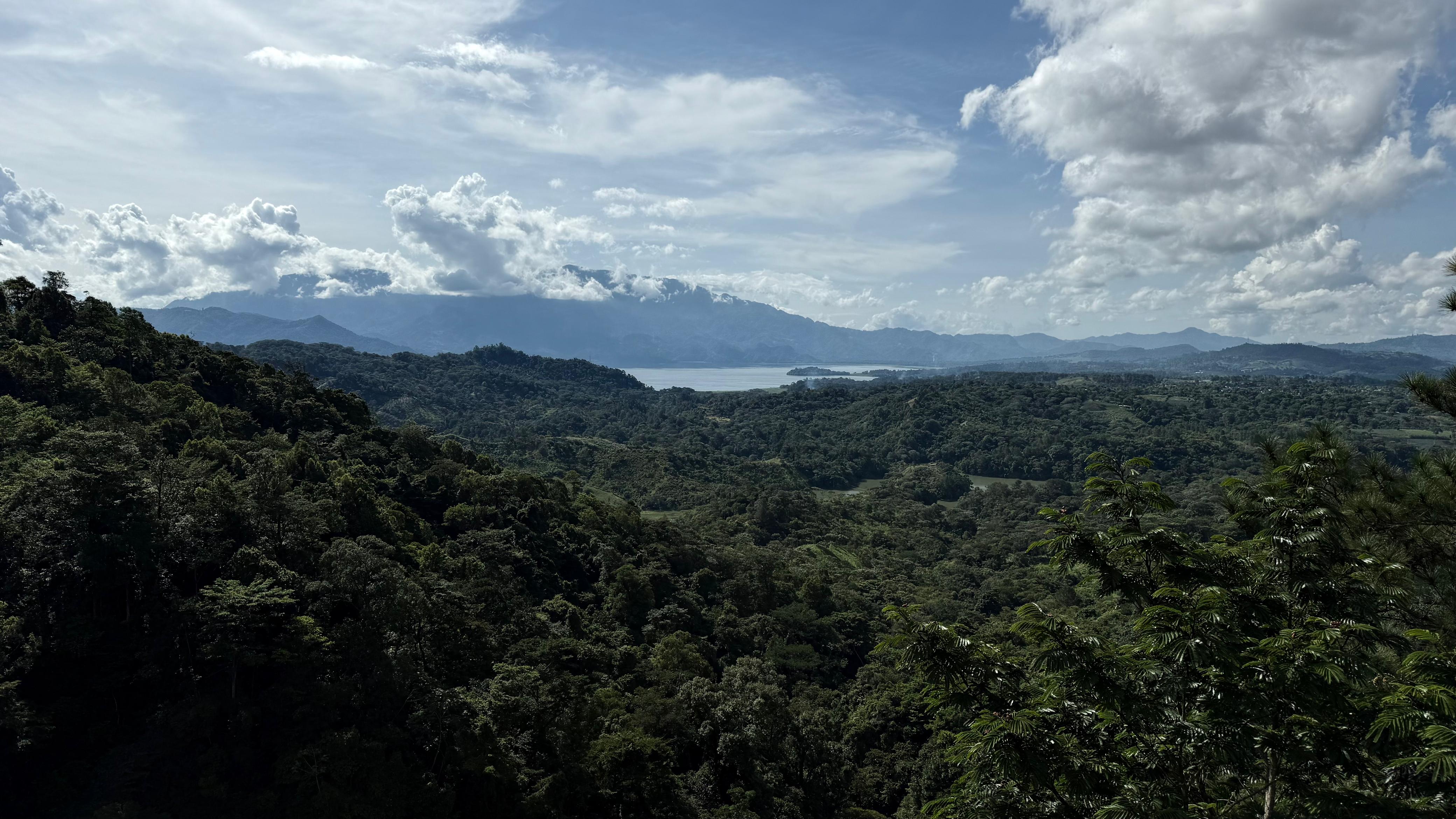
Initial deployments include Jeannette Kawas National Park, Puca Wildlife Refuge, Montecristo National Park, and other ecosystems managed through co-management and ICF’s regional offices in Comayagua, Atlántida, and Occidente. Many of these areas previously relied on paper reporting protocols. With EarthRanger, teams now log patrols, incidents, and wildlife observations in one place, making it easier to track activity over time, identify problem areas, and coordinate a response.
So far, teams are using EarthRanger in 45 protected areas, with more than 100 personnel— including 60 from the National Ranger Program and 40 from ICF—actively leveraging the platform. The expansion is backed by financial support from FAPVS and technical assistance and training from MOCAPH.
This effort is directly tied to Honduras’ “Zero Deforestation by 2029” strategy, launched after declaring a national forest emergency. The focus is on restoring areas hit hard by illegal logging and land clearing. In places like the Río Plátano Biosphere Reserve, where deforestation and uncontrolled road construction have caused rising conflict and environmental loss, EarthRanger helps teams see what’s happening in real time, share updates with communities, and coordinate responses more effectively and efficiently.
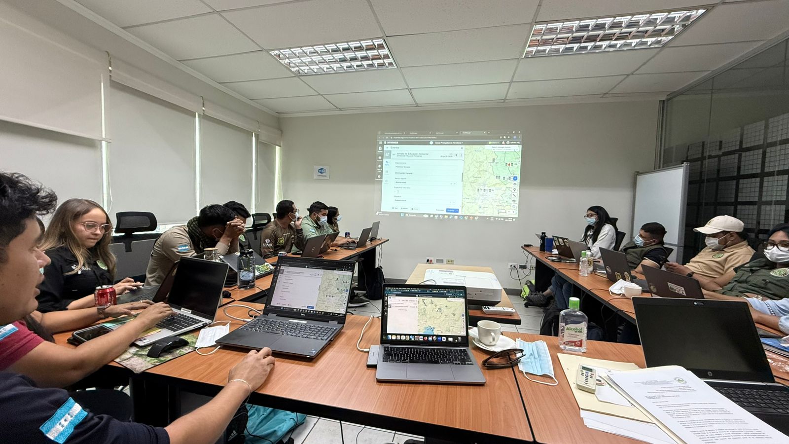
As EarthRanger is rolled out, Honduran authorities are bringing together deforestation alerts from satellites, GPS data from wildlife collars, patrol activity, and field observations submitted by rangers and community members in one place. This one picture helps conservation teams act faster and with better context. Global Forest Watch alerts help track forest degradation and loss linked to agricultural expansion. Some protected areas are incorporating species observations from iNaturalist and eBird, citizen science platforms integrated with EarthRanger, to complement monitoring efforts and add visibility into species presence. Patrol teams now have a way to track where they’ve been, monitor personnel safety, and better understand patterns of human-wildlife conflict. As shrinking habitat pushes wildlife into closer contact with people, conservation teams are using EarthRanger to track a rise in snake encounters, an early signal of shifting conflict trends now being documented across protected areas. These data are helping teams pinpoint where conflicts are happening, understand what’s driving them, and plan responses.
New partnerships are also helping add more streams of information. In the Puca Wildlife Refuge, a 6,000-hectare reserve co-managed by the Puca Community Foundation, a real-time camera trap was recently installed with support from Wildlife Protection Solutions (WPS) using their wpsWatch system. wpsWatch provides conservationists with a live view of key events, such as animal movements or poaching activity, captured by AI-enabled camera traps provided free of charge. These alerts feed directly into EarthRanger, allowing field teams to monitor and respond to events without switching systems. Puca teams are already detecting movements and behaviors that previously would have gone unnoticed.
.jpeg)
With EarthRanger-to-EarthRanger (ER2ER) sharing, Honduras is transforming how conservationists collaborate. Protected areas can choose what data to share and with whom, so when a jaguar or a ranger crosses a boundary into another area using EarthRanger, authorized teams can still see their movements even if the collars or devices aren’t theirs. Each protected area controls what’s shared, maintaining privacy while allowing national authorities to see activity across the country and coordinate more effectively.
This kind of visibility is part of a broader shift. EarthRanger is used by conservation teams around the world, and in Latin America, Honduras joins a growing number of countries deploying the platform nationwide, including Paraguay, Panama, and Mexico.
EarthRanger builds on the important work already being carried out by technical staff and rangers on the ground, connecting their efforts with real-time data and national coordination. By providing the infrastructure to deliver conservation technology where it’s needed most, it helps teams respond faster, coordinate across protected areas, and act on clearer information. It’s a foundation Honduras can build on–not just to protect its ecosystems, but to strengthen its conservation network and the communities that depend on them.